Day Hike
Eagle Crags Trailhead
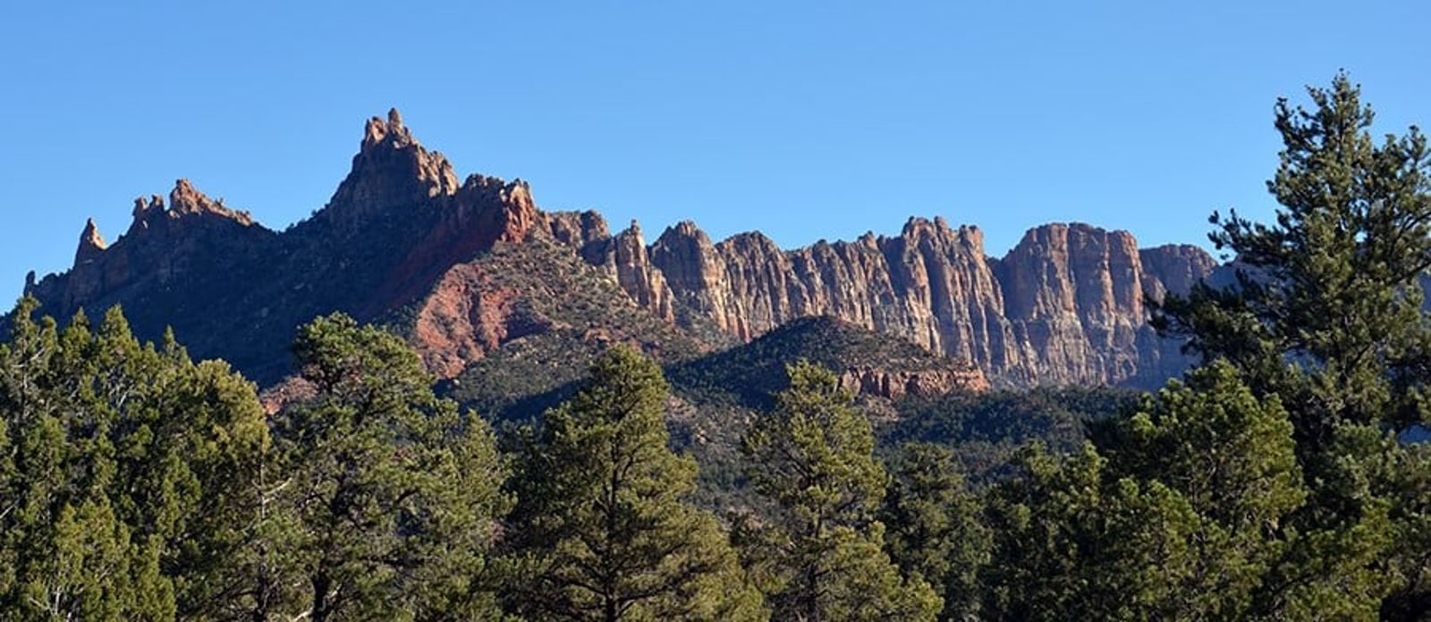
Sandstone spires on the edge of Zion's southern boundary.
(0)
About
Eagle Crags Trailhead sits on Bureau of Land Management land just south of Springdale, reached by turning off S.R. 9 onto Bridge Road in Rockville and following Eagle Crags Road about two miles to a vault toilet at the trailhead. The route climbs 2.8 miles at a moderate grade through open pinyon-juniper woodland dotted with sagebrush, blackbrush, yucca, and cactus toward a ridge of spiked sandstone pinnacles known as the Eagle Crags.
Good to know
- High-clearance vehicles are recommended for the access road, which becomes impassable when wet, even for 4WD.
- The trail is exposed for nearly its full length, with little shade or shelter from the sun.
- From the ridge, the Vermilion Cliffs extend in both directions, marking the southern edge of Zion's main canyon system.
- This is BLM land outside the national park boundary, not an NPS-maintained trail.
Reviews
See all on GoogleNo reviews yet for this listing.